GIS Mapping & Analysis
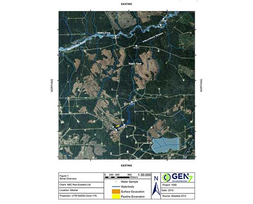
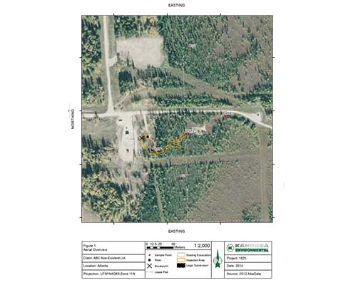
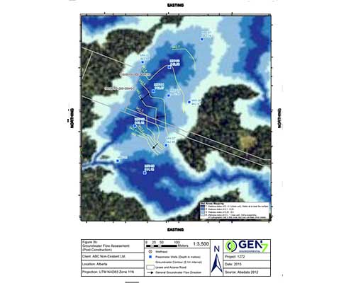
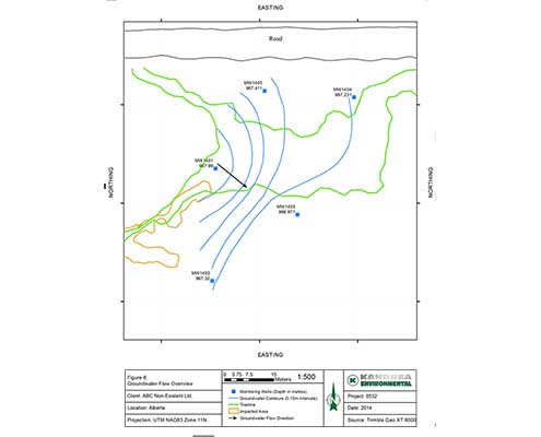
Using state of the art remote data collection methods and Geographic Information Systems (GIS), Gen7 Environmental Solutions is able to produce high quality maps for our clients for a visual interpretation of environmental challenges and proposed solutions. Not only do we use GIS to consider and communicate the spatial aspects of a project, but we use this important tool to conduct complicated analysis to answer critical questions or to address regulatory conditions and concerns for specific projects. Gen7 Environmental Solutions offers a full range of in-house GIS and cartographic services utilizing ESRI ArcGIS suite products.
Our GIS Mapping and Analysis services are available as a stand-alone service or used to inform any one of the environmental services provided by Gen7 Environmental Solutions.


